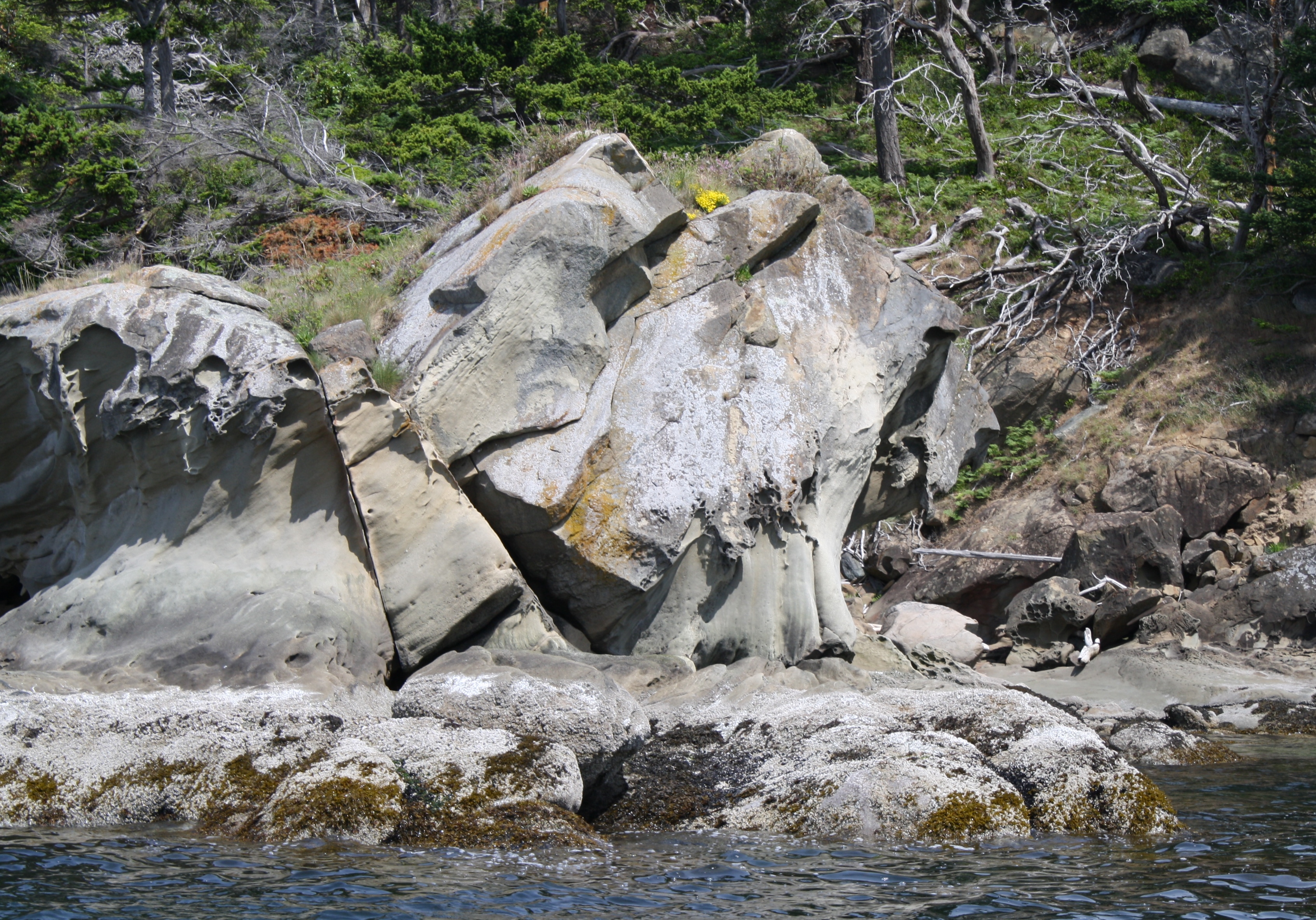
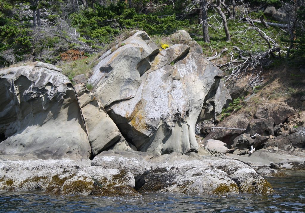
Sandstone Formation in Chuckanut Bay at the foot of Chuckanut Mountain
In stark contrast to the mountainous Pacific Northwest of today, during the Eocene epoch (~ 55 ~ 34 Million Years Ago (MYA) it was quite flat. However just as today, the region then was lush with vegetation and interlaced with braided streams meandering from what is now Eastern Washington on to the Pacific Ocean. This was a tropical swamp with exotic plants and animals (although some would be familiar yet today). As the streams approached the ocean, they slowed and their sediments of sand, clay, and silt carried from huge rock formations to the east, settled out. Over millions of years these sediments accumulated, were compressed by gravity and tectonic forces, and solidified into immense geologic rock formations. This bucket is about one of these structures – the Chuckanut Formation made up primarily of sandstone, siltstone, conglomerate, and shale, with pockets of coal from the ancient compressed vegetation.
I have referred to this formation in three previous diaries that were focused on various aspects of it including its Eocene fauna and flora, and more recently, graffiti sprayed on the rock formations along its beaches. Here I want to focus on the formation itself and all it has afforded our region.
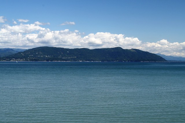
This formation is not only in my backyard, it is under it as well. These sedimentary deposits extend to depths of nearly 20,000 feet in places. My focus here is on the Chuckanut Mountains which comprise 10 separate but related mountains (and hills) in and around Whatcom and Skagit Counties in northwest WA. In particular, I will focus mainly on Chuckanut Mountain itself (for which the formation was named) and a bit on Sehome Hill which is most directly in my back yard. In addition segments of this and related sedimentary formations are spread across the northwest, including the San Juan Islands and up into British Columbia.
This diary threatened to get too long so I decided to do it in two parts. This is Part I.
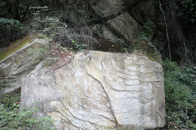
Consisting of sedimentary deposits, these mountains would be expected to show numerous layers of the ages, accumulated over millions of years. And of course they do. Many of these layers now are tilted and folded indicating that they were subjected to tectonic and various geologic forces emanating from several faults in the area. This formation is thought to have been folded about 40 mya, toward the end of the eocene epoch. So now these sedimentary remnants are hills and mountains, nestled as foothills of the Cascade range as well as being dispersed throughout local islands in the Salish Sea.
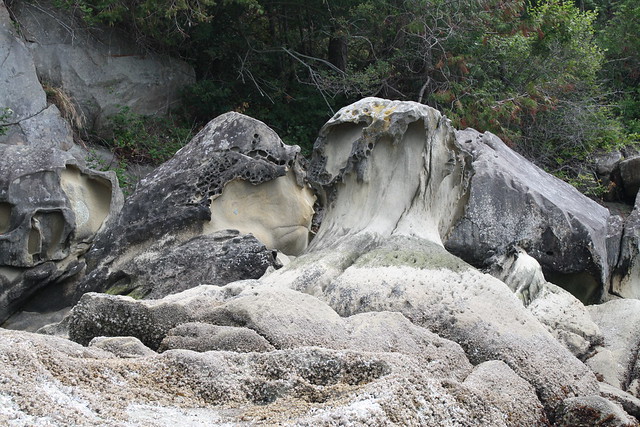
Nature’s artistry — sculpted and folded Sedimentary rocks.
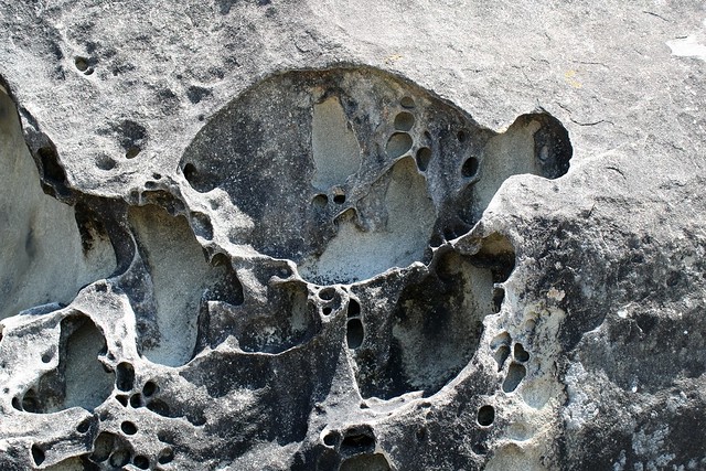
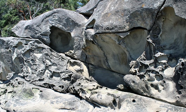
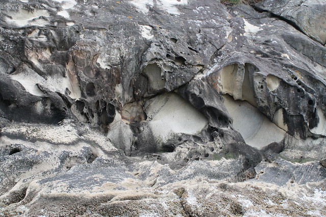
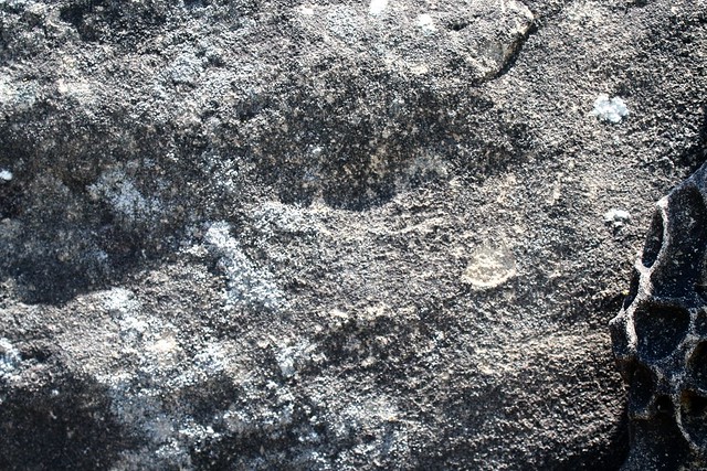
Tafoni are ellipsoidal, pan – to bowl-shaped, natural rock cavities. These cavernous weathering features include tiny pits, softball-sized cavities, truck-sized caves, and nested and cellular honeycomb forms. Tafoni typically develop on inclined or vertical surfaces and occur in groups.
Part II of this chuckanut venture will examine fossils from the eocene swamps impressed in the sedimentary stone, the use of these stones in early building in the West, and the magnificent recreational opportunities and views that the raised and folded formation provides its residents and visitors.
Stay tuned for part II.

![232323232fp537_8_nu=3384_6;4_4_2_WSNRCG=3337479394344nu0mrj[1]](https://www.motleymoose.com/wp-content/uploads/2016/08/232323232fp537_8_nu3384_64_4_2_WSNRCG3337479394344nu0mrj1.jpg)
Thanks, RonK, for these spectacular images of our earth and the narrative. I always learn something new from your posts.
Thanks JanF.
I see that a couple of photos did not make into the this version. I’ll try to fix it in edit.